Professional Land and Building Surveyors. We specialise in high accuracy 3d laser scanning services and 3d modelling.
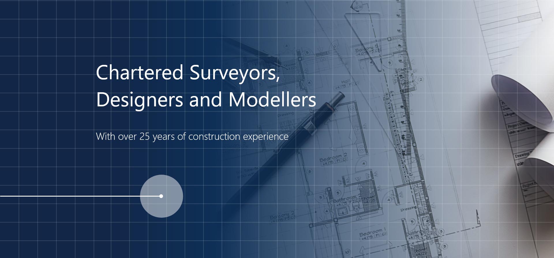
Welcome to 3d SurveyScan. Our Staff consist of Chartered Surveyors, designers and modellers with over 30 years of construction experience.
3d SurveyScan clients come from a wide vareity of industry sectors. Consisting of National utility companies, private individuals, architects, local authorities to name but a few.
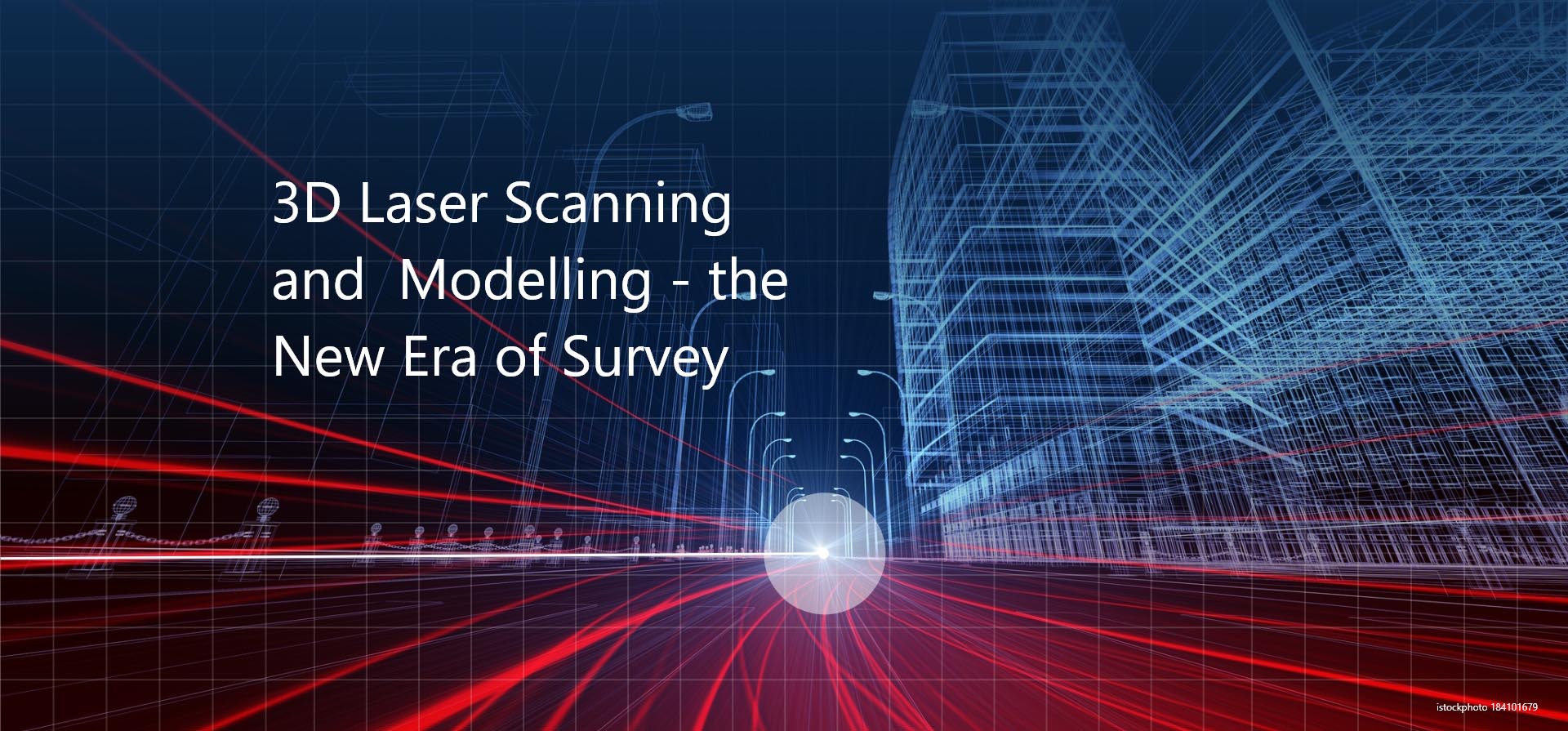
From domestic extentions to underground service tunnels. Using 3d Laser scanning techniques enables the production of both 2d and 3d Drawings and Models to an accuracy that is unsurpassed.
Our Services
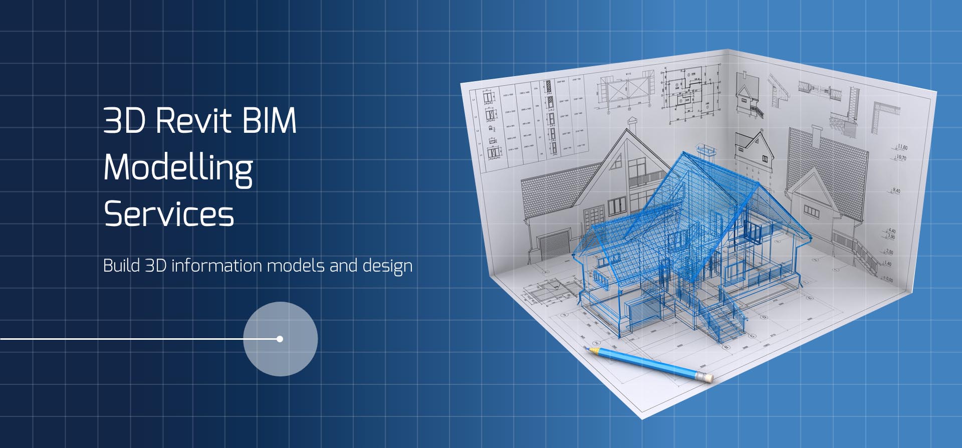
3d BIM Modelling
Building Information Modelling (BIM) is an intelligent 3d model-based process that equips architecture, engineering and construction professionals with the insight and tools to more efficiently plan, design, construct and manage buildings and infrastructure.
Measured Building Surveys
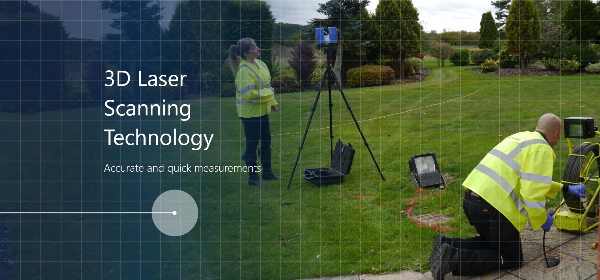
Laser Scanning
3d SurveyScan utilises Faro Focus Scanners which measure upwards of half a million points per second of all visible surfaces within a range of 1 meter to 330 meters. Scan data is then registered using cutting edge world leading Faro Scene software.
Topographical survey
Using the most up to date survey equipment we can provide topographical surveys for a wide variety of market sectors.
Design Services/Premises Licence Plans
In house domestic, industrial and commercial expertise.
Utilities/GPR Surveys
Combing Ground Penetrating Radar (GPR) and conventional utility surveys 3d SurveyScan aim to provide our clients with accurate positional data of below ground services.